The Wales Coast Path was developed by the Welsh Government in partnership with the former Countryside Council for Wales, relevant Local Authorities, and Snowdonia and Pembrokeshire Coast . The intention was to build on the success of existing coastal area paths such as Llŷn, Anglesey and Pembroke and create a path along the whole coastline of Wales. After a lot of work the Wales Coast Path, measuring 870 miles, was launched in 2012.
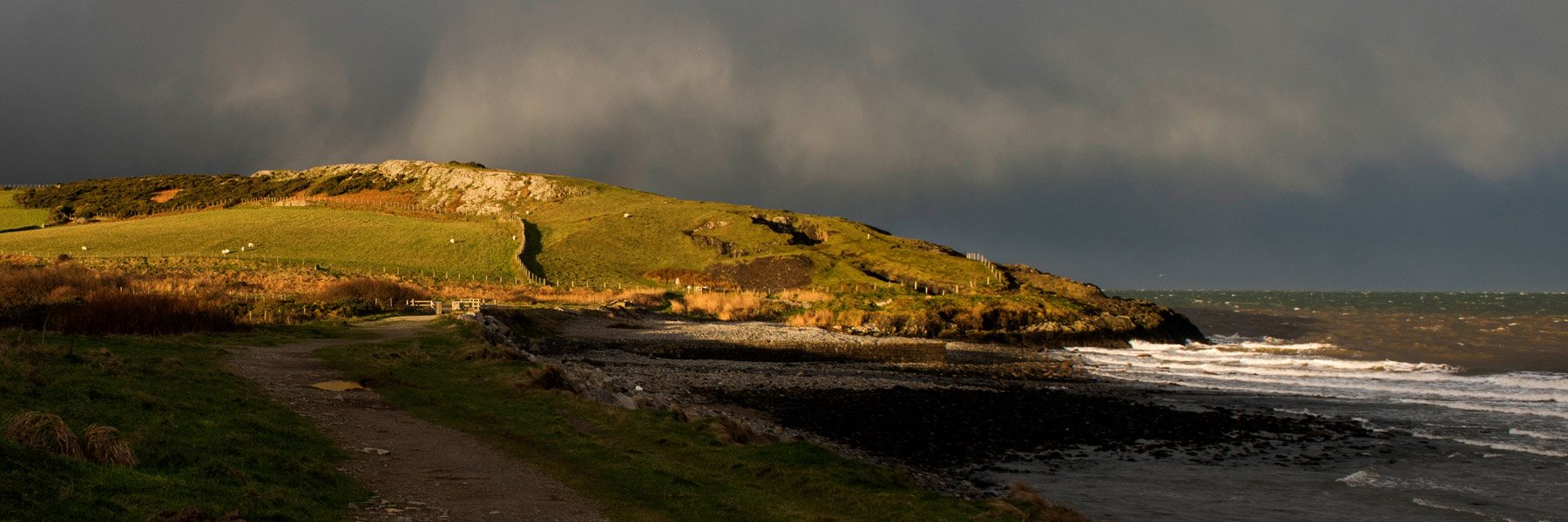
On the Llŷn Peninsula the Coast Path follows the AONB’s coastline from Aberdesach on the north coast to Carreg y Defaid near Llanbedrog in the south. The path has been developed and improved over time and follows the coast as closely as possible. The Coast Path provides a great opportunity to see and enjoy the beauty of the Llŷn coast – including a variety of beaches, sea cliffs and the islands. There is wildlife in abundance including all sorts of sea birds, grey seals and occasionally dolphins.There are also lots of historic remains to be seen along the Llŷn coast – old quarries, former coal yards, jetties and remains of old ships. Keep an eye out for History Point QR signs which you can scan to obtain more information at various locations along the way.
For further information on the Coast Path, including maps to download, go to the Wales Coast Path website.
2026 Llŷn AONB
website by WiSS


